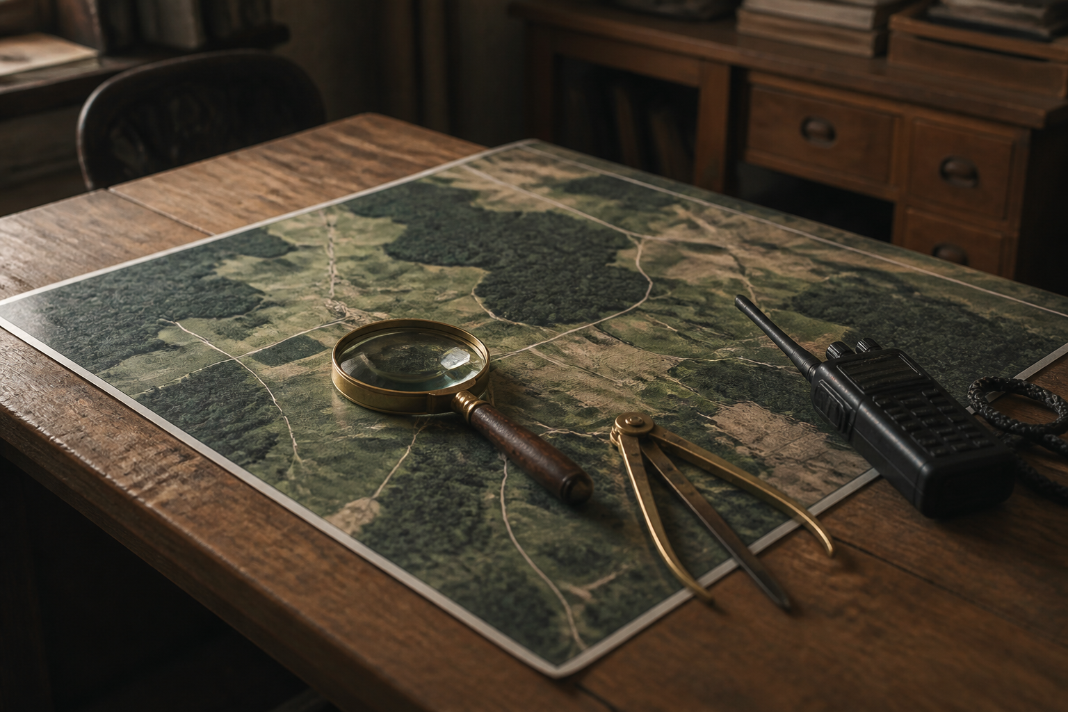
Satellite analytics platform translates daily orbital imagery into automated action
Continuous orbital photography of Earth yields limited value without real time automated interpretation. Integrating computer vision algorithms with satellite feeds allows systems to detect rapid changes on the ground and initiate targeted responses automatically.
The Blend
Satellites continuously capture vast amounts of imagery of Earth, but raw footage is often useless without rapid interpretation. Satellite analytics platforms are now pairing computer vision algorithms with live camera streams from orbit. This allows automated systems to process overhead photographs instantly, converting vast streams of spatial data into immediate insights.
For practical everyday applications, this shift enables faster responses to real-world emergencies and logistics challenges. Instead of waiting for human teams to review snapshots, smart algorithms can flag wildfire outbreaks, monitor crop health, or track shifting maritime traffic in real time. Emergency workers and agricultural managers can receive automated alerts minutes after a satellite passes overhead.
What remains uncertain is how reliably these algorithms can distinguish critical changes from temporary noise, such as cloud cover or seasonal shadows. Furthermore, as real-time orbital monitoring becomes widespread, it raises open questions about global privacy standards and who gets to control continuous overhead surveillance.
Written independently by AI News Smoothie from the reporting listed below. Facts belong to the original publishers. Follow the links for their full coverage.
Ingredients
- https://www.youtube.com/watch?v=fd_TsNUpPWw
Automated computer vision allows satellite platforms to detect ground changes instantly and trigger direct responses.