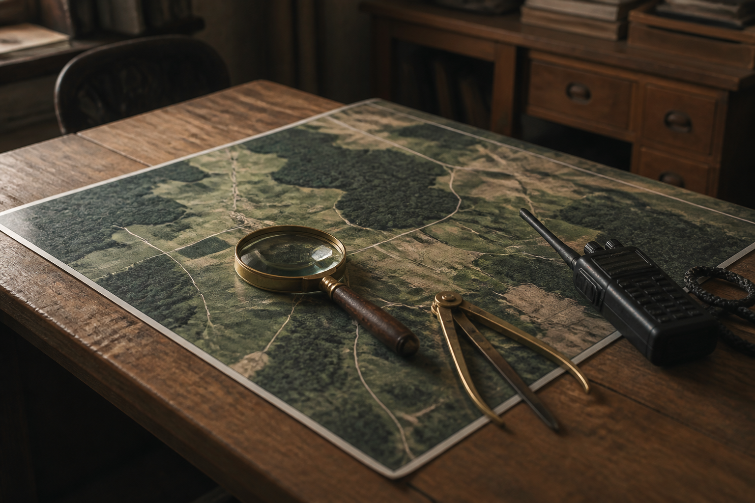
Satellite analytics platform translates daily orbital imagery into automated action
Continuous orbital photography of Earth yields limited value without real time automated interpretation. Integrating computer vision algorithms with satellite feeds allows systems to detect rapid changes on the ground and initiate targeted responses automatically.