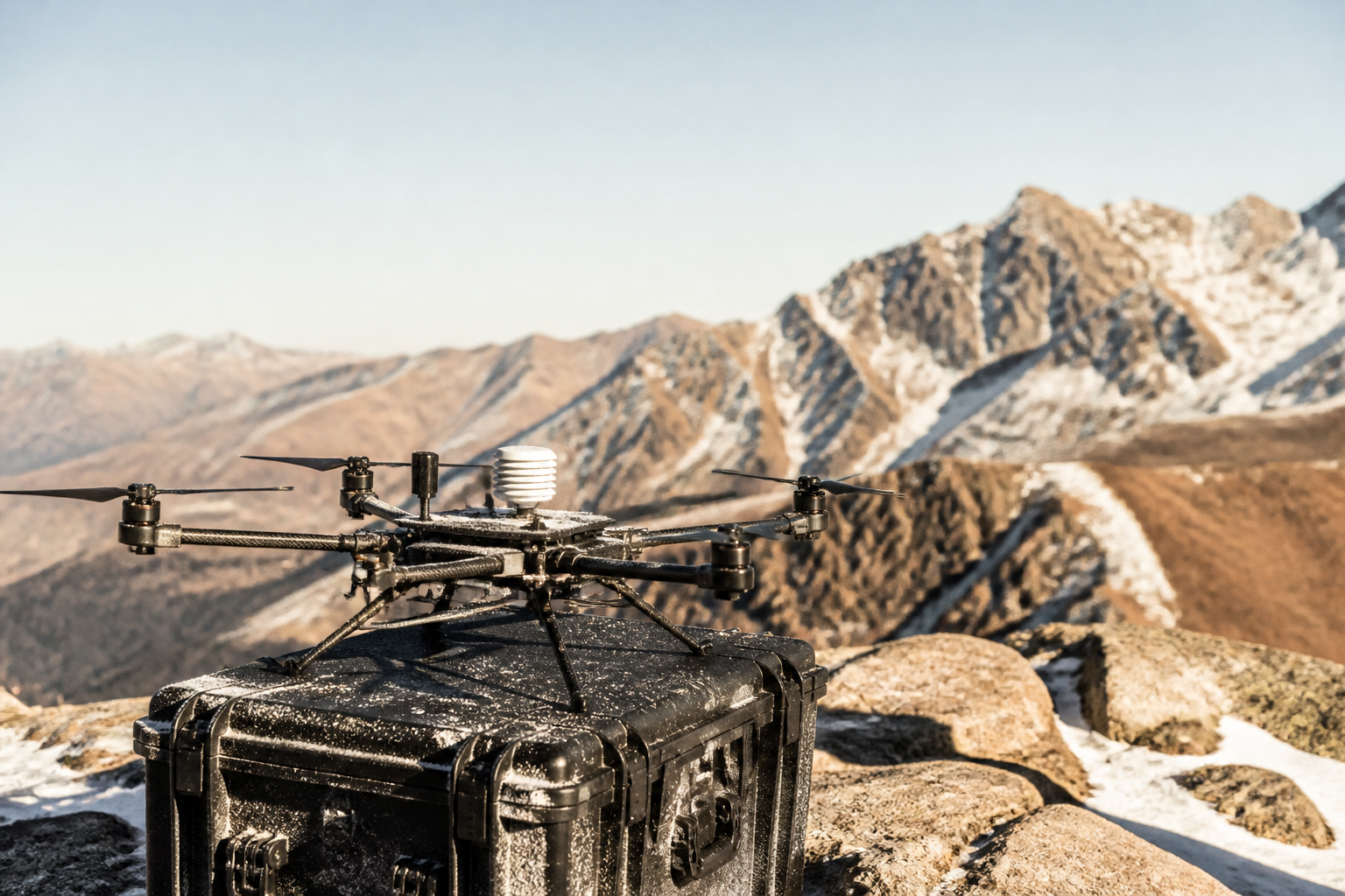

High Altitude Drone Collects Atmospheric Data Beyond Commercial Flights
Meteomatics announced that its reusable weather drone reached an altitude of over 34,000 feet. The aircraft gathers atmospheric observations to improve weather predictions for aviation and space operations.
The Blend
Swiss technology firm Meteomatics has developed a reusable multicopter capable of ascending beyond 34,000 feet into the upper atmosphere, according to a report by Interesting Engineering. The drone, called Strato, collects real-time observations on temperature, air pressure, humidity, and wind conditions at altitudes typically reached only by specialized weather balloons.
For everyday people, more precise high-altitude data translates directly into smarter weather forecasting. Conventional weather balloons drift away with the wind and are usually lost, creating gaps in atmospheric data between scheduled launches. By flying to targeted areas on demand and returning to its launch pad, this reusable craft can feed fresh data into advanced predictive models. This could improve flight planning for commercial airlines, assist launch schedules for space missions, and enhance severe storm alerts for local communities.
Key details about the system remain unverified. Interesting Engineering reported that Meteomatics has not disclosed the aircraft's battery life, weight capacity, or independent proof of its maximum flight height. Furthermore, it is uncertain whether operating high-cost drones in extreme conditions will prove more economical than traditional balloons, or how aviation regulators will safely coordinate autonomous research flights inside congested commercial airspace.
Written independently by AI News Smoothie from the reporting listed below. Facts belong to the original publishers. Follow the links for their full coverage.
Ingredients
- World's first drone to reach the stratosphere climbs 34,245 feet
Meteomatics developed a reusable multicopter drone designed to collect high-altitude atmospheric data to improve localized weather forecasts.