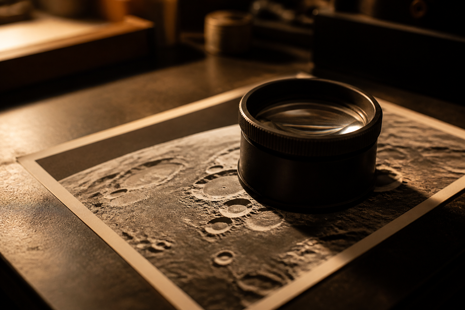

Claude Opus 5.5 reconstructs famous lunar photo in three dimensions
Anthropic demonstrated its latest model mapping thousands of reference points along the moon's horizon in Apollo 8's 1968 Earthrise photo. Using elevation data, the system calculated the exact time and location of the snapshot to build a 3D digital model.
The Blend
Anthropic showcased an AI demonstration involving its Claude Opus 5.5 model analyzing the iconic Earthrise picture taken during the 1968 Apollo 8 mission. By matching thousands of lunar surface features with topographical elevation maps, the system pinpointed the exact position of the spacecraft and the precise time the photograph was captured, using that data to construct a three-dimensional digital model of the scene.
This capability highlights how advanced artificial intelligence systems are moving beyond simple text or image generation toward deep spatial reasoning. For everyday users, such spatial intelligence could eventually transform digital mapping, historical archival analysis, virtual reality environments, and automated navigation by allowing software to infer complex 3D environments directly from a single two-dimensional photograph.
While the technical demonstration is visually impressive, it remains uncertain how reliably this technique operates on lower-resolution photos or images lacking distinct astronomical landmarks. Beyond historical imagery, a broader question is whether AI systems can apply this geometric depth estimation to everyday indoor photos, which could reshape how homes or cities are digitized without expensive specialized camera equipment.
Written independently by AI News Smoothie from the reporting listed below. Facts belong to the original publishers. Follow the links for their full coverage.
Ingredients
- https://www.youtube.com/watch?v=Ov-B6K1EsaI
Anthropic showed how its AI model can analyze a classic lunar photograph to calculate exact camera coordinates and reconstruct a 3D environment.